


20231221-Les Thuits

doudet
User
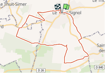

Length
10.5 km

Max alt
166 m

Uphill gradient
96 m
Km-Effort
11.7 km

Min alt
122 m

Downhill gradient
95 m
Boucle
Yes
Creation date :
2023-12-21 12:27:31.597
Updated on :
2024-01-04 22:33:28.323
2h44
Difficulty : Medium

FREE GPS app for hiking
 SityTrail
IGN / Geographical institutes
SityTrail Plus
The world is yours!
About
Trail Walking of 10.5 km to be discovered at Normandy, Eure, Le Thuit-de-l'Oison. This trail is proposed by doudet.
Description
Boucle A-R au départ de la place de la Mairie de Thuit-Signol
Photos


23 photos in total. Please click on a photo to see them all in the gallery.
Positioning
Country:
France
Region :
Normandy
Department/Province :
Eure
Municipality :
Le Thuit-de-l'Oison
Location:
Unknown
Start:(Dec)
Start:(UTM)
349895 ; 5459006 (31U) N.
Comments